
Reading Time: 10 minutes
I used the long holiday weekend to get on the road and continue working on the Visit Utah GeoTour. This is by far the most challenging GeoTour I ever did, probably even available. Usually, the caches are easy to find and you can drive up to most of them. The challenge is to drive all over the state and have the time to do that. It’s a lot of driving. I had four days available this weekend to find more caches and I was able to complete 10 more counties.
Day 1
This was an easy day and short on geocaching. I started about noon and went to finish Box Elder County. The drive took me to the Bear River Migratory Bird Refuge. A short and easy walk to ground zero.

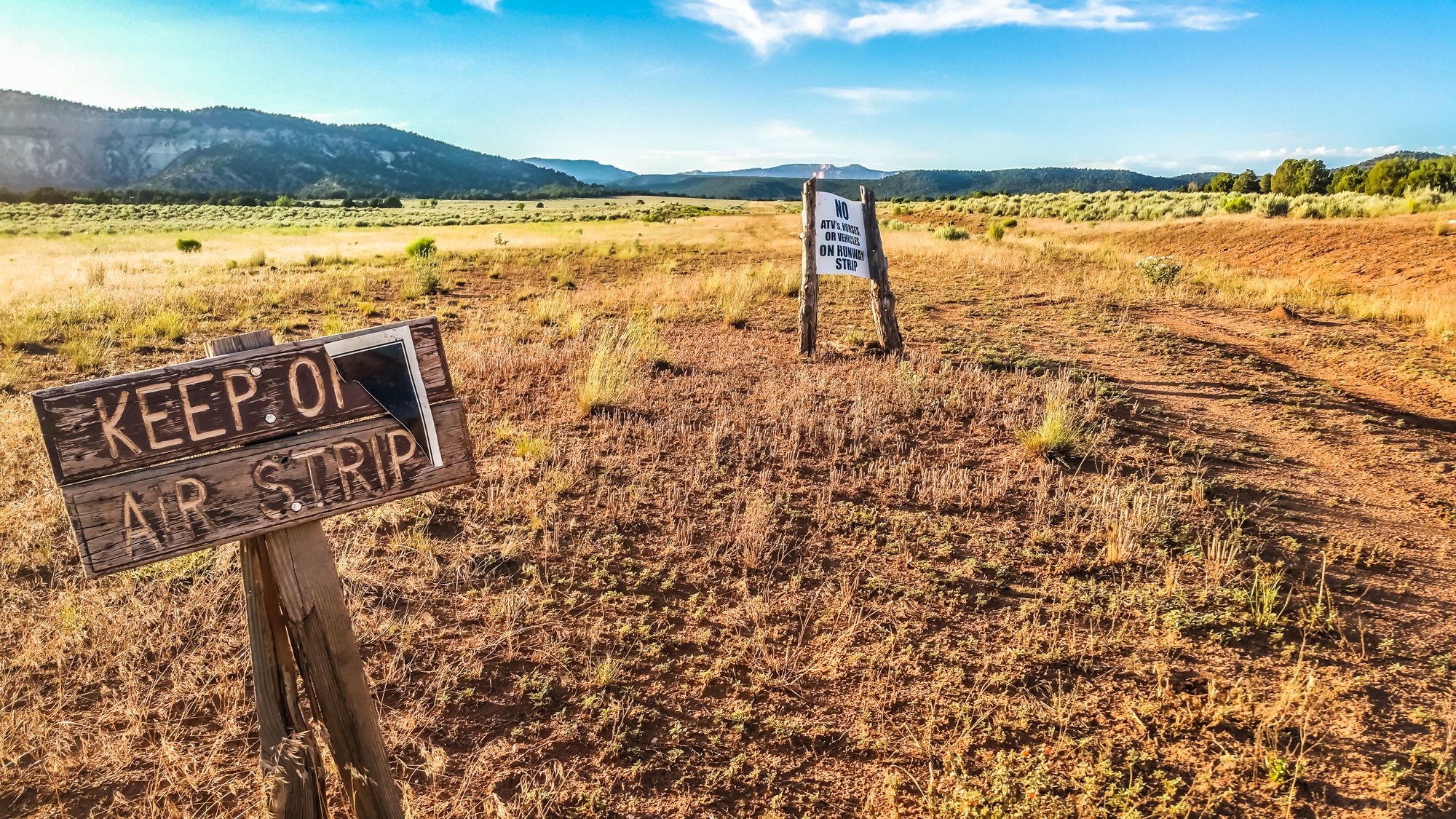
The next one up was Locomotive Springs. The name and description sounded exciting. On my way, I passed the Orbital ATK test site. This is a huge area in the mountains where Orbital ATK tests their new rockets and propulsion systems.

I took a short detour to see the little rocket park in front of, what seems to be the main building at this site. The drive there was cool and there was nobody around. No other cars passed me on my way there. The box was also found quickly and logged. I used the area and the time to play a bit with my drone and fly around to take pictures. On my way back out I discovered some people hanging out on the salt flats close by and shooting guns or rifles. You could hear them before you even saw them. After I depleted all my batteries for my drones I started heading back home to the hotel and planning the trip for the next couple of days.

Day 2
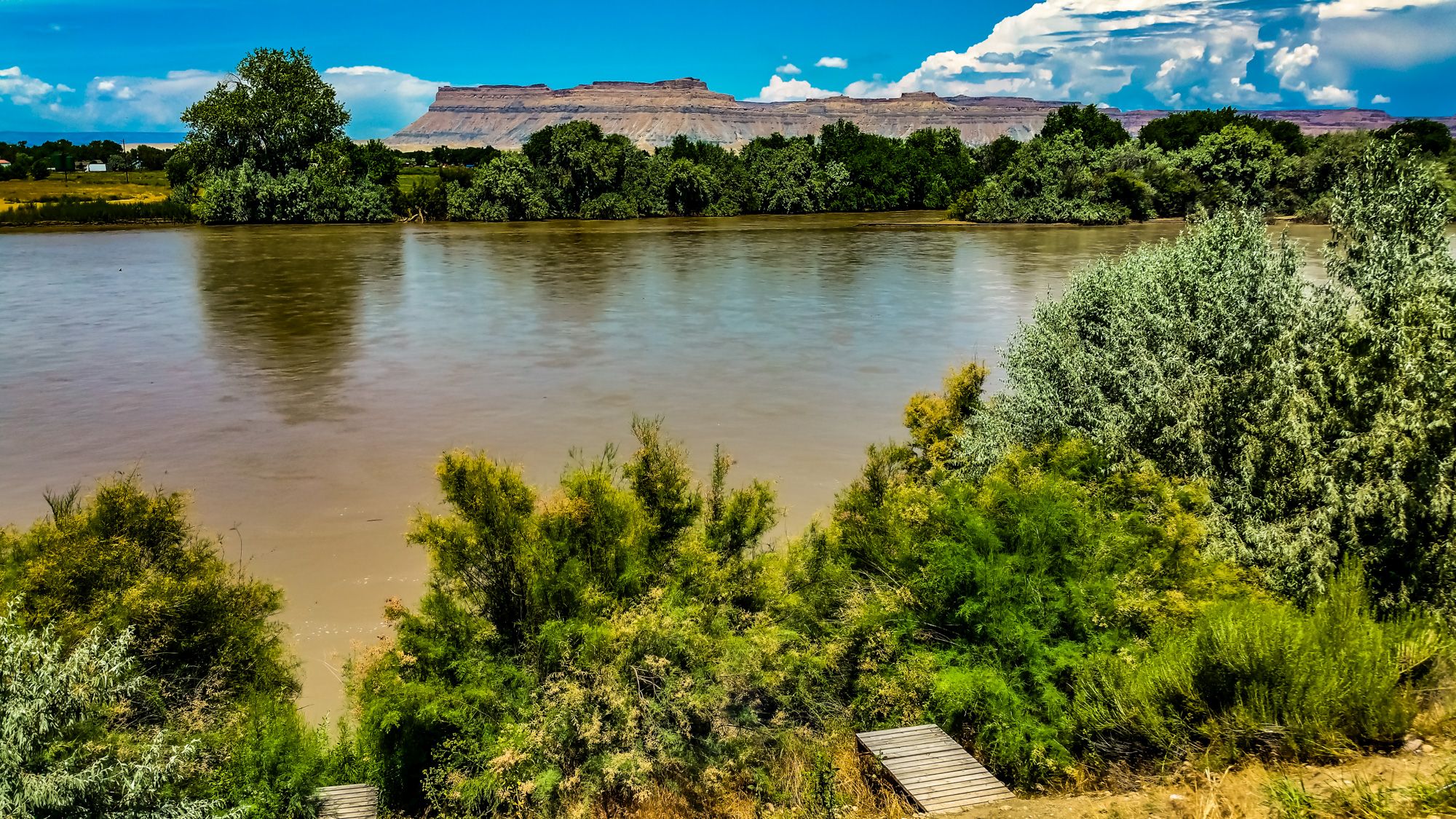
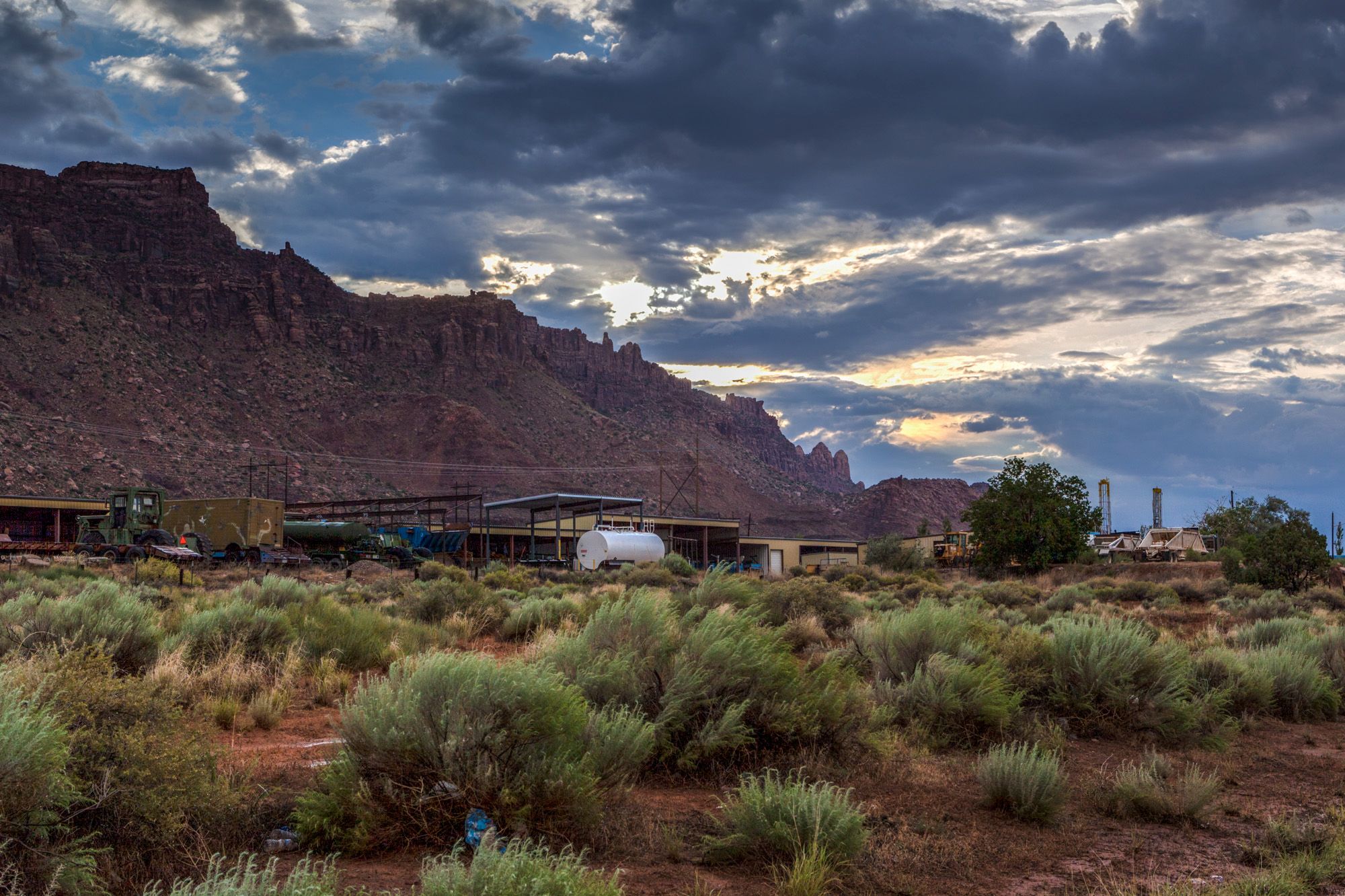
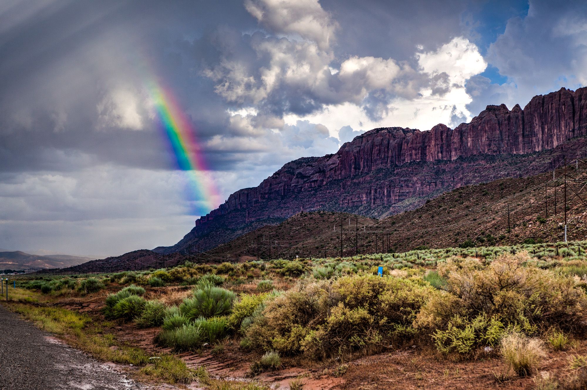
I started out early. I packed all my stuff already the day before and right after breakfast I headed down south towards Emery County. The three caches in this county were found quick and easy. Just one cache was a bit away and needed a bigger detour to get there. The planned route would continue onwards to Moab and Grand County. The area around Moab is amazing. So much thing to see and stuff to do. I will definitely come back here for a weekend getaway. After finding 4 (required are three) GeoTour caches and numerous other once, I continued on south to the next county – San Juan.


I was a bit short on gas and had to alternate my route to get gas first before venturing off into the wilderness. I stopped in Monticello to gas up and find the first cache of the GeoTour in this county at the golf course. Then decided to head back up north, the way I came from, and over towards the next cache on the list. This was Newspaper Rock. When I got there it was already completely dark and I had to find this cache in the darkness. It was still easy to find with my built-in flashlight in my cell phone. After this cache, I decided to call it a day and was looking for a hotel not too far from here. The next one was the Rodeway Inn in Monticello, the city I went before to gas up. I was one cache short to complete this county.
 Day 3
Day 3

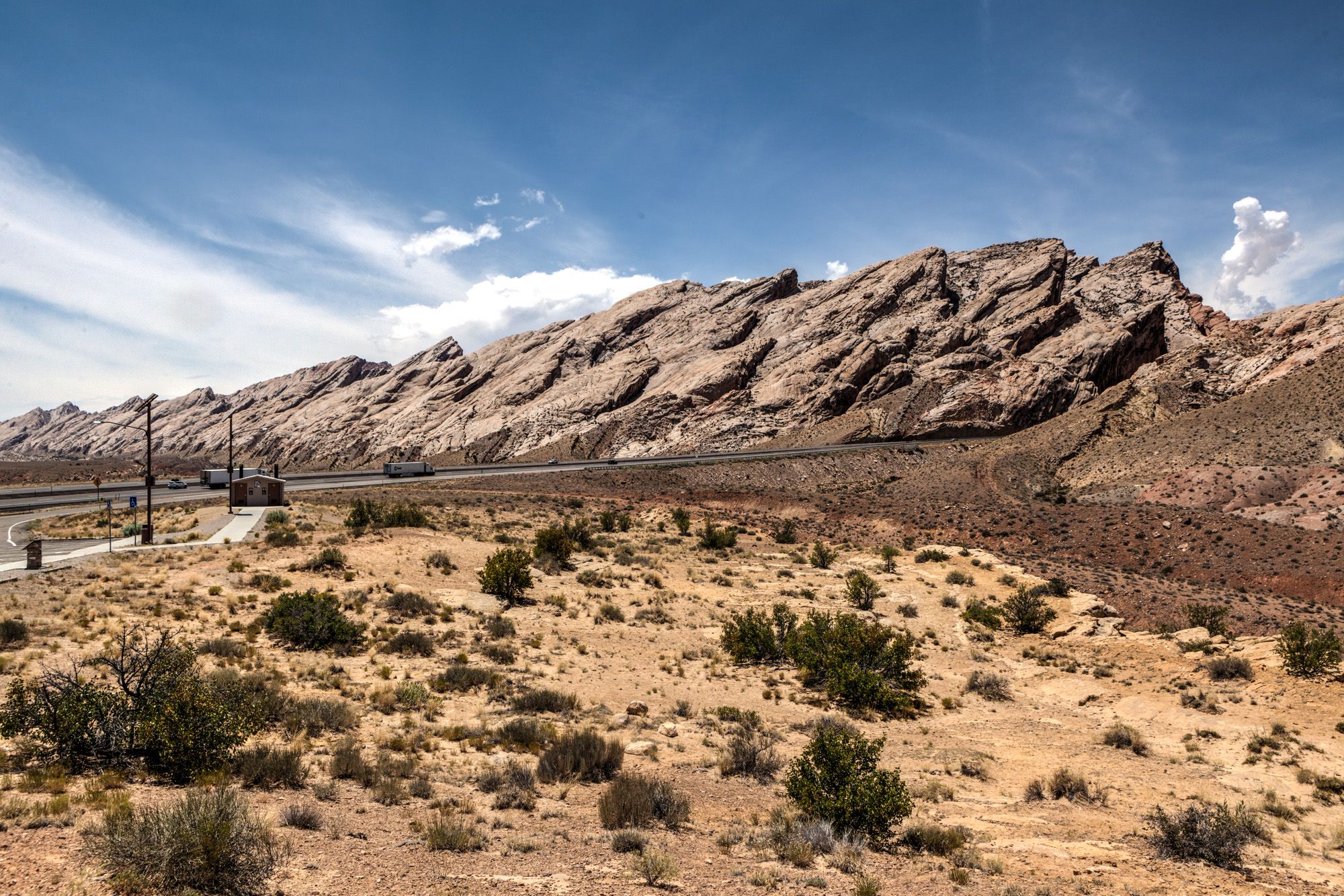
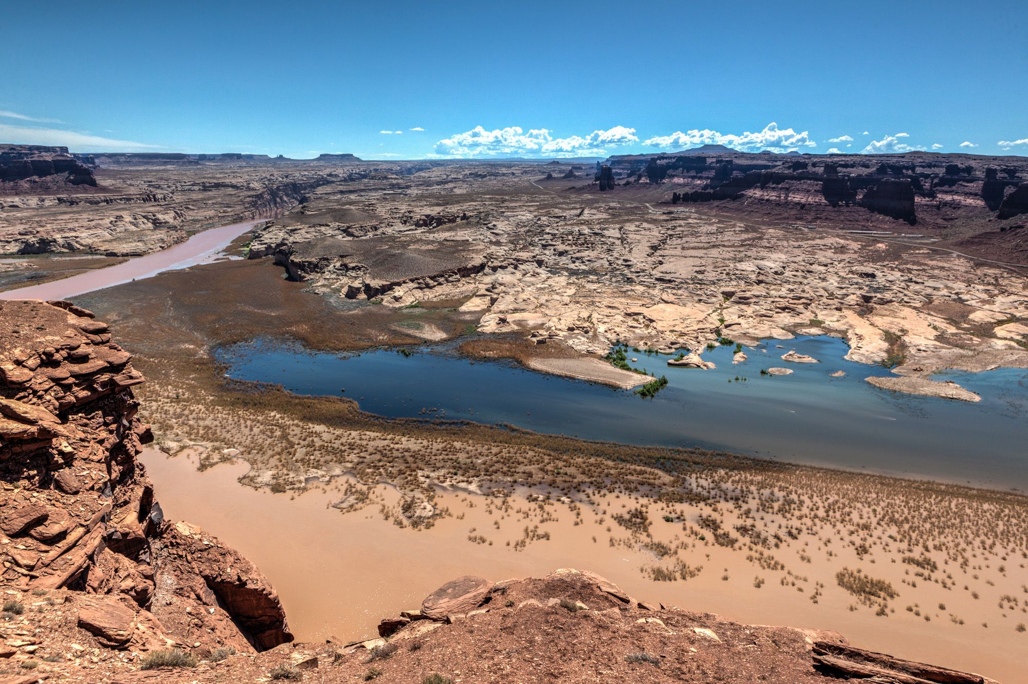
After a good breakfast at the Rodeway Inn in Monticello, the day started with completing San Juan County. The first cache of the day was easy. I was able to pretty much drive all the way up to the cache. I could see it from my car. Signed it and noted the code and headed out towards the next cache in Wayne County. It was quite a long drive to get to the next one but the stunning scenery was worth it. The drive through Glen Canyon was amazing and I stopped numerous times to take pictures. This is another area where you can spend days to explore it.

The caches in Wayne County are at amazing places. First one was at Wolverton Mill, an old historic mill and now a small museum. There is no charge to enter the mill and walk around it. The second cache was at an amazing Off-Highway Vehicle (OHV) Park. If you have an OHV, this is the area to come to and play. The last cache in Wayne County was on a road leading into the canyons. Unfortunately, I was on a tight schedule and couldn’t complete the drive there.


This cache completed Wayne County and I headed towards Garfield County. I plotted my route to have the three required caches along my route to the next county. To save time, I had to spend some money. For all three, I had to pay to get to them. The first one was at the Anasazi Museum. Since I already paid the admission, I used the time and learn more about the history. Make sure you go and see the archeological excavations at the back of the museum.
 The second cache was at the Escalante Petrified Forest State Park. Here is also an entrance fee required to get to the cache, because the box is hidden within the limits of the park. Little did I know what expected me here. I was expecting a short drive up and be on the way again. But no, it was quite a hike all the way up the little hill they had here to get to the cache. At the top, I even lost track of the path, because it’s all rock and no real path. Even another hiker wandered off the same wrong way I did. But with the help of GPS, I was able to find the box with a minimum delay. The views from up here are great. This was the hardest hike for a cache of this GeoTour so far.
The last one in this county was for me the Kodachrome Basin State Park. Here is also an entrance fee required. Follow the signs to Shakespeare Arch and park at the parking lot. From here it’s a short and easy walk to the cache. While you are there, take some pictures of Shakespeare Arch as well.
Last but not least I wanted to finish another county on the same day. This would be Kane County.
The first one was a bit off the beaten path, hidden in a canyon. It required some walking on a mainly flat surface to get there. Only GZ is a little bit elevated. The coordinates of the cache were off quite a bit and had to use the hint and good judgment to find the box. I was worried that I won’t be able to find it because there are so many hiding spots around here.

Little Hollywood was the second stop for me in Kane County and also the second cache of the GeoTour for me. The cache is hidden in a good but easy to find spot. Even with a tourist bus parked right outside in the parking lot, you can sign the logbook without being seen by anyone. Because it got late I used my phone and searched for a hotel for tonight. After trying a few of my favorite hotels and realizing they were all sold out, I went with the Best Western Red Hills. The front desk staff was super nice and friendly. I chatted with them a bit and they even brewed fresh coffee for me. The rooms were clean and breakfast was good too. Unfortunately not enough time to enjoy other amenities like the pool. But before I checked in, I wanted to complete this county today. I headed up north on Hwy 89 to find the last cache for today in a parking lot. This parking lot is the entrance to a wonderful Slot Canyon called Red Canyon. Locals call the canyon “Peek-a-Boo Canyon”. At the hotel, I logged all the caches found today on my phone and started planning the route of the next day.
 Day 4
Day 4

This was the last day of this multi-day geocache tour. Unfortunately. I knew that it will be a shorter day and I won’t complete as many counties as before. Being still at the southern end of Utah and having to be back in Salt Lake City early next morning, I tried to grab as many caches of the GeoTour as possible and abort if it gets too late to have enough time to drive back. I wanted to complete at least Washington County because it’s the furthest county from Salt Lake City.

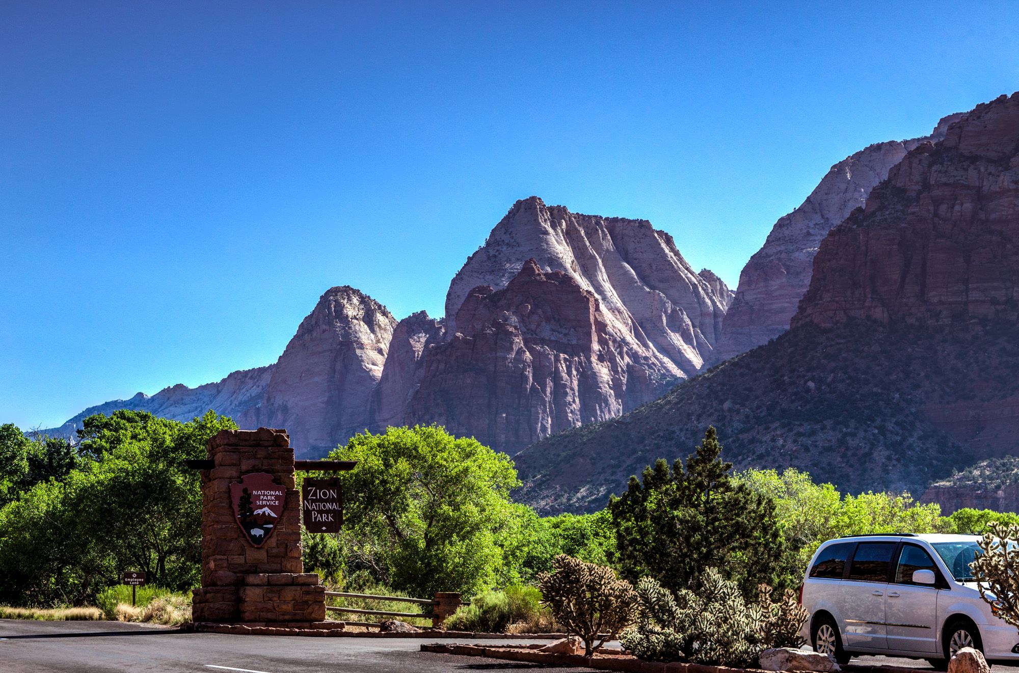
The shortest and fastest route to get to my next caches was taking State Route 9 through Zion National Park. I bought the annual pass because it might come in handy to see the other National Parks in Utah and on further travels this year.


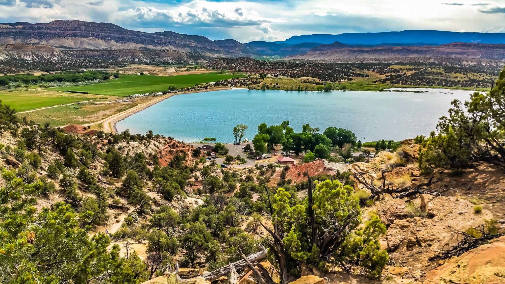
The first cache of the day was located in St. George at the Golf Club. From here I followed old Highway 91 to Gunlock State Park. There is an entrance fee required to get inside and find the cache. The cache is easy to reach from the parking lot. Watch out for snakes here. In two nearby bushes were rattle snakes and you could hear them. Be alerted! To complete this county, I logged the cache at the Red Mountain Trailhead. Easy and quick find.


The next county was Iron. The first one I attempted to find got muggled. I found the location of the cache but no box was here anymore. Too bad that other people steal stuff and destroy this game. I decided to go with the next nearby cache which was located at the Frontier Homestead State Park in Cedar City. There is a fee required to access the museum and find the cache. But it’s really worth it to explore the history of Utah and this area here. The second cache was located at Three Peaks Recreation Area. A great place for hiking, biking, horseback riding and picnicking.
 The last one of Iron County for me was located at the Parowan Gap Petroglyphs Site. The hiding spot was chosen not very wisely. Because you have to climb some boulders and you are in plain sight of all the visitors. They won’t see you pulling out the cache but they will think you are hunting for rocks. This site had a lot of visitors during my search for the box.
The last two caches for today were in Beaver County. The first one at the Ghost town of Frisco. No, not San Francisco, it’s Frisco. You can see still old ruins here and from the street, it’s a short walk to the box. Looks like not a lot of people come out here. Anyway, a cool site to see. And the last one for this whole trip was the cache at Rock Corral Recreation Area. After getting close to GZ I was worried that this could be another DNF, but no I found it promptly. I was very surprised that it was such an easy find. It’s just a short walk from the street.

This was my four-day geocaching trip at the 4th of July holiday weekend. I drove over 2000 miles and almost finished 10 counties on this trip. Unfortunately, I had to abort to make it back on time.
Tips
Here some tips if you try to find this caches as well.
- Download offline Maps and possibly even Navigation (check out Here Maps by Nokia)
- Download all the caches for offline use or print the descriptions to have them available if you need them. Most of the time you won’t have cell phone reception
- Bring enough water
- Check your car before going on this long trip
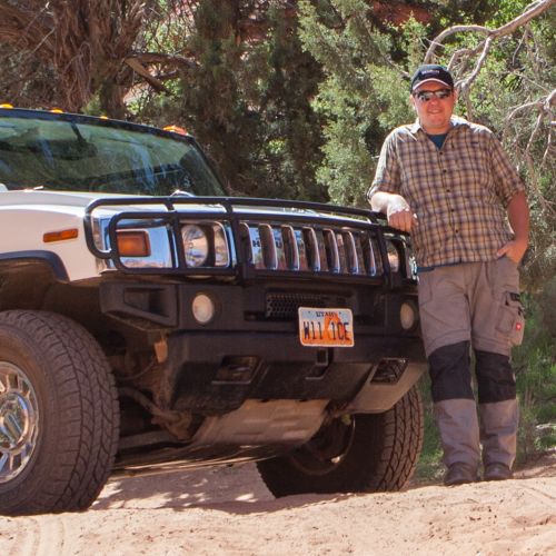
Peter has a passion for Traveling, Photography, and Geocaching. These are the best ingredients for amazing adventures all over the globe. “Traveling is fun, no matter if you stay in a luxury hotel or travel like a backpacker.” Peter shares his experiences on his Blog www.gatetoadventures.com
Some of Peter’s photos are published on corporate websites, in-flight magazines, travel guides, and much more.


Subscribe
1 Comment
[…] 2000 Miles and 4 Days Later – Visit Utah GeoTour […]