Reading Time: 4 minutes
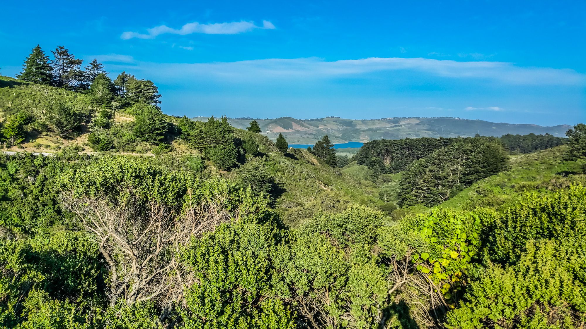
San Francisco is a beautiful city. But not only the city itself has a lot to offer, also the surrounding area. I love to take road trips and drive along scenic routes. The most famous route in and around San Francisco is probably Highway 1 going up and down along the coast. I drove it myself many times and it is gorgeous. But if you want to try something else and want to get great views from the San Francisco Bay, take a drive along Skyline Blvd.
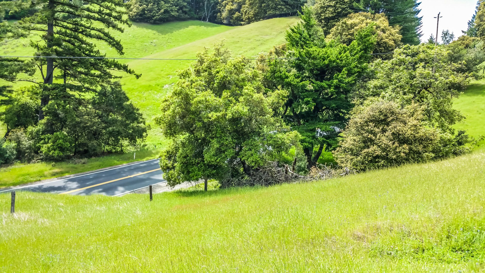
It’s great to drive here during spring and summer. On a nice day you have great views of the bay and even the ocean. There are lots of turnouts and spots to stop to take pictures or even go more adventurous and hike along one of the many trails here. A lot of bicyclists or bikers like to take a ride along that route as well. Be always careful and share the road with others. Don’t speed, especially not around corners where you can’t see. There might be a bicyclist and worst case you have oncoming traffic as well.
A great start point is where Skyline Blvd (Highway 35) intersects with Highway 92 going from San Mateo to Halfmoon Bay. There is a parking lot and great vista point right at the intersection. This is a great point to meet up with other people if you want to take your bike out for a ride. The drive is very scenic and winds up the mountains through the forest with giant Redwood trees.
If you have time, don’t just drive through here. Take a break and hike along one of the many beautiful trails here. The trails are part of the Midpeninsula Regional Open Space Preserve. Check their homepage for train information and events.
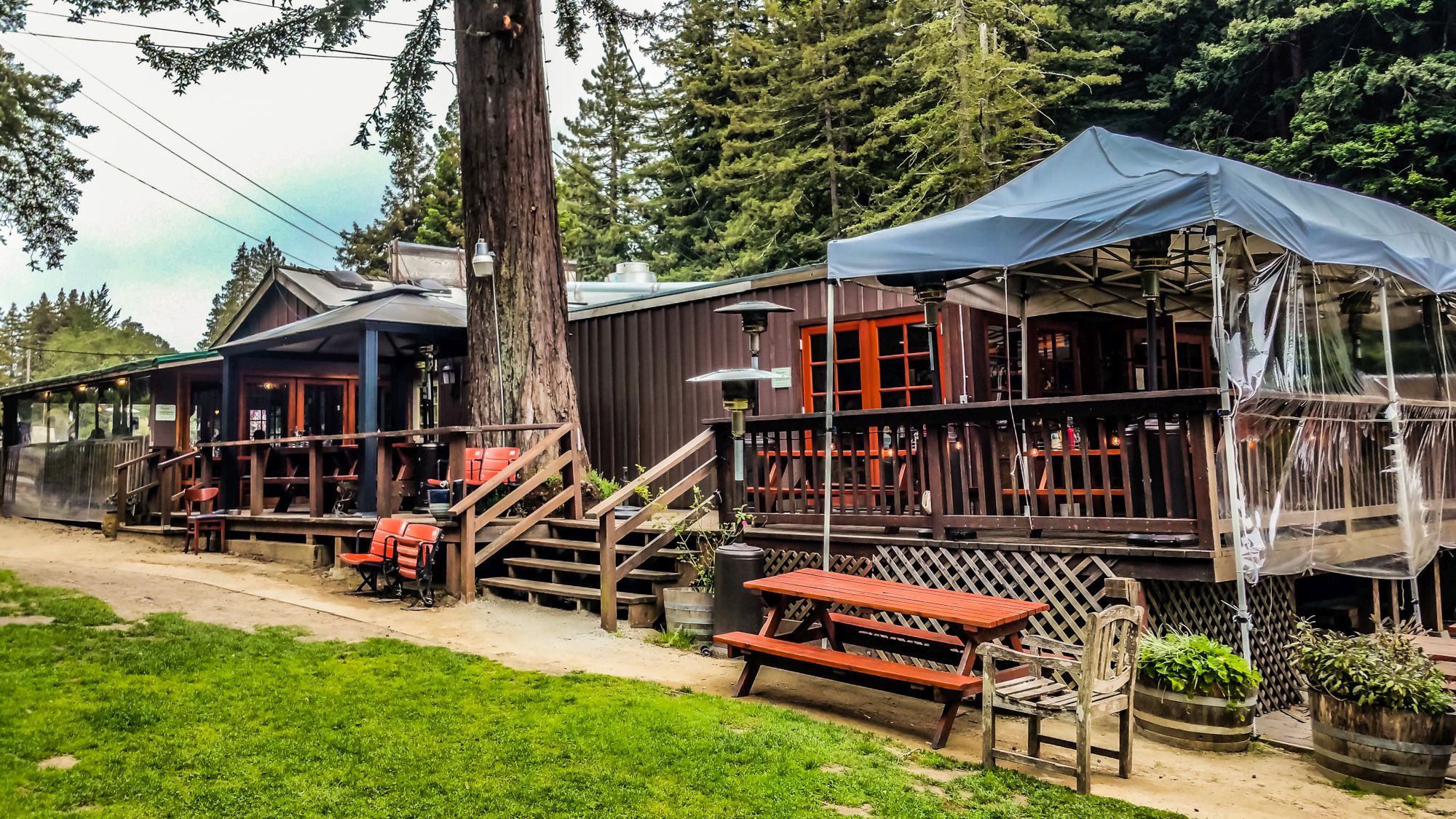
After a third of the stretch between Highway 92 and Highway 17 you will reach the intersection between Skyline Blvd and Highway 84. This is a great spot for a stop and to dine at Alice’s Restaurant. Say hello to the friendly staff. I tried the Farmer’s Burger, made of 100% grass fed, free-range-beef from a local Family Ranch.
There is also one of the very view gas stations right next to the restaurant. But the station is open only during a limited time throughout the day.


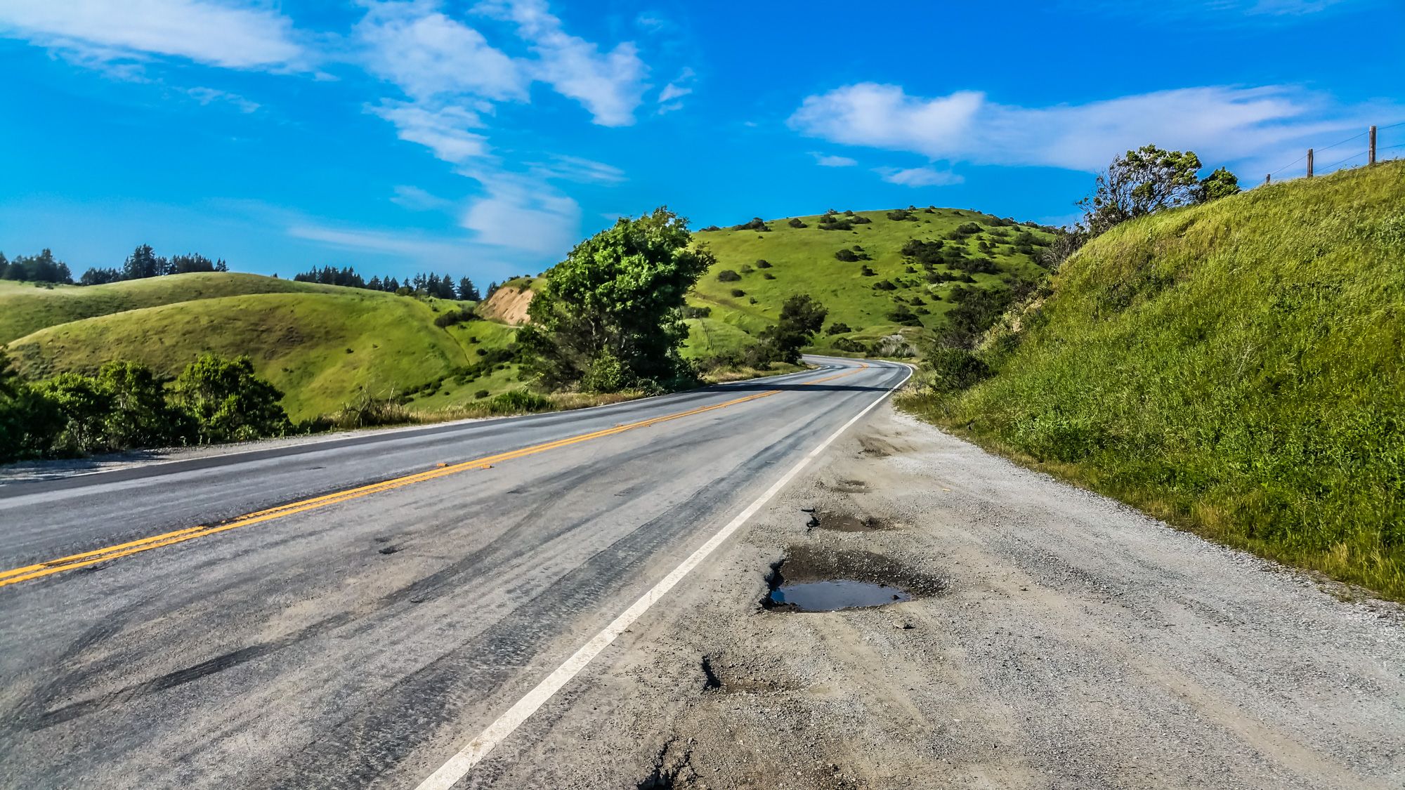
Further down, just before the last stretch before merging onto Highway 17, Skyline Blvd will narrow down. Be very careful driving here and watch out for other.


Did you ever drove along this Highway? What was your favorite spot or highlight?
Peter has a passion for Traveling, Photography, and Geocaching. These are the best ingredients for amazing adventures all over the globe. “Traveling is fun, no matter if you stay in a luxury hotel or travel like a backpacker.” Peter shares his experiences on his Blog www.gatetoadventures.com
Some of Peter’s photos are published on corporate websites, in-flight magazines, travel guides, and much more.